
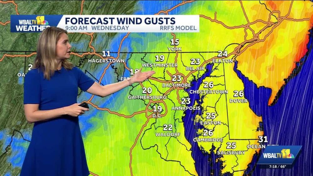
Classic October weather continues this week in the Baltimore area, but the winds are stronger at the beach with a coastal storm offshore.
|| Closings/Delays | Weather Advisories | Radar | Forecast | Email Alerts | Send us your pics ||
Temperatures will dip into the 40s on Wednesday morning. Though this will feel chilly, it is near-normal for mid-October in the Baltimore area.
Temperatures will be near-normal by Wednesday afternoon, as well, with highs in the 60s. It will help to have full sunshine, but there is a cool breeze from the north around 10 mph.
A nor’easter continues to strengthen offshore Maryland.
The rain will stay offshore, but the winds and waves are picking up at the Mid-Atlantic beaches, including Ocean City, Maryland. Through this week, gusts of 30-40 mph are possible at the beach.
The tides are also increasing along the Delmarva coast and parts of the Bay, and will eventually lead to areas of tidal flooding.
In Anne Arundel county, Maryland, the peak tide is expected on Thursday morning around 3 a.m., leading to minor tidal flooding. In Ocean City, Maryland, tides will be near moderate flood levels Wednesday through Friday.
Download the WBAL-TV 11 News app and turn on push alerts to be aware of changing weather, and watch WBAL-TV 11 News for updates.
When it is safe to do so, send us your weather photos and videos, and we may share them on 11 News or online.
You may see the WBAL-TV 11 Weather Team highlight Alert Days or Impact Days in the forecast. Here’s what that means:
READ MORE:Breezy again on Wednesday in the Baltimore area
CHECK OUT WBAL:Get all the latest Baltimore news, weather and sports. WBAL-TV brings you the best in Maryland news online, anytime.


