
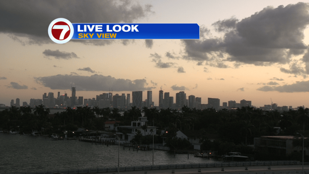
Breezy-to-windy conditions are here and it’s making for milder days and the feel of fall. Here’s a look at the Miami skyline as the sun was setting on Tuesday.
Earlier in the day, parts of Miami-Dade and Broward picked up a few showers. The morning rain bands didn’t amount to much accumulation.
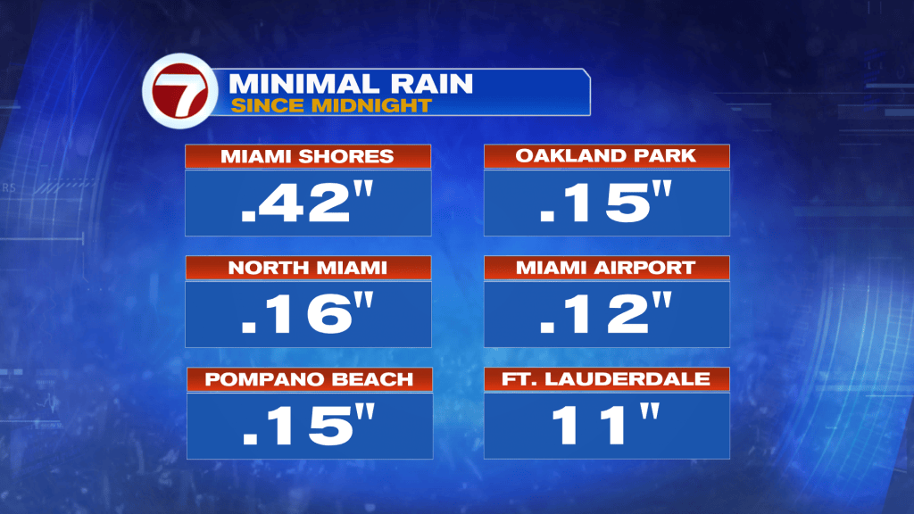
Overall, we’re in a quiet state (quite literally).
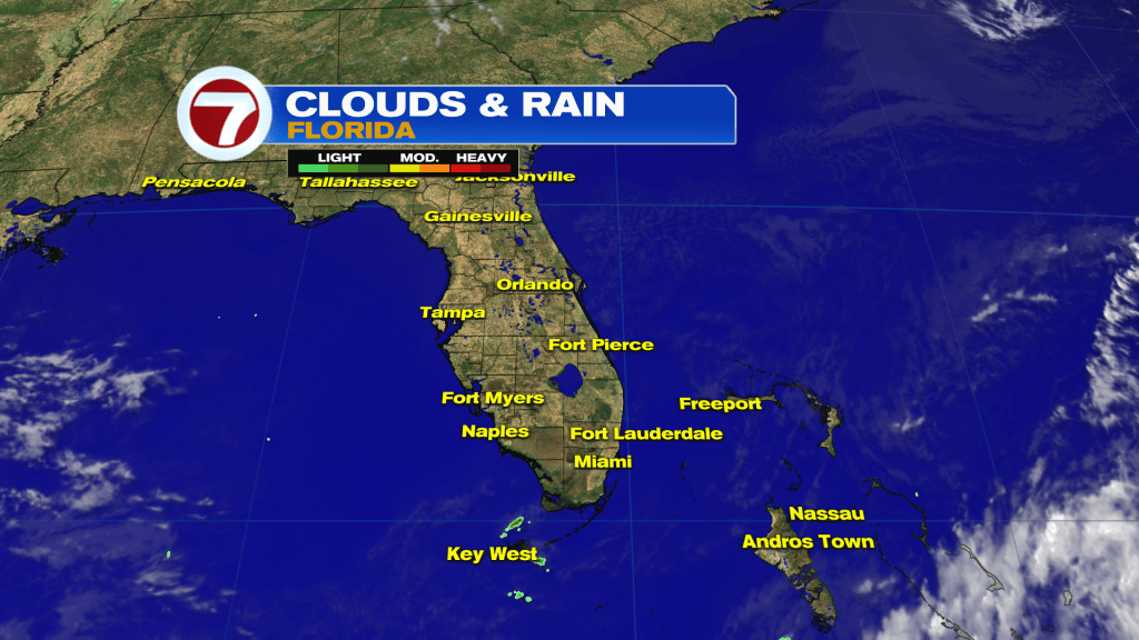
There’s a stationary front holding to our south (over Cuba). The boundary, which crossed Florida this past weekend, scoured out the humidity that was present not long ago! The only issue to keep contending with? The fall-like breeze, gusty at times, will still arrive off the Atlantic.
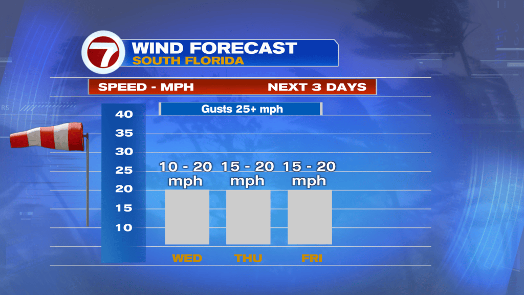
Here’s a look at the midweek pattern, shown below. It revolves around distant High Pressure center to our north.
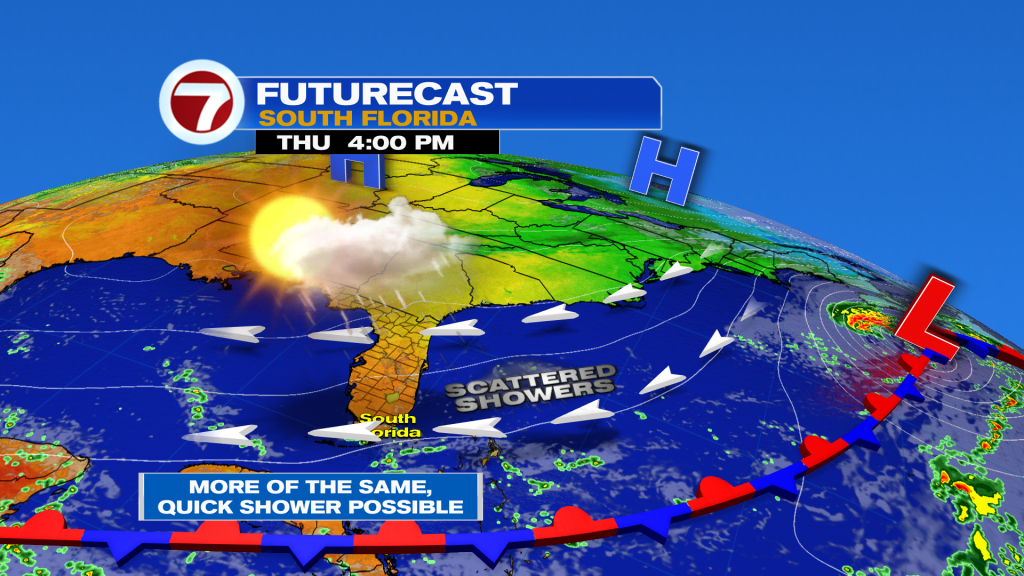
Most spots are expected to be dry but we shouldn’t discount widely separated, small showers (the quick kind) rolling off the ocean. Also, don’t get too used to this “drier” setup as a weather change is forecast for the end of the week!
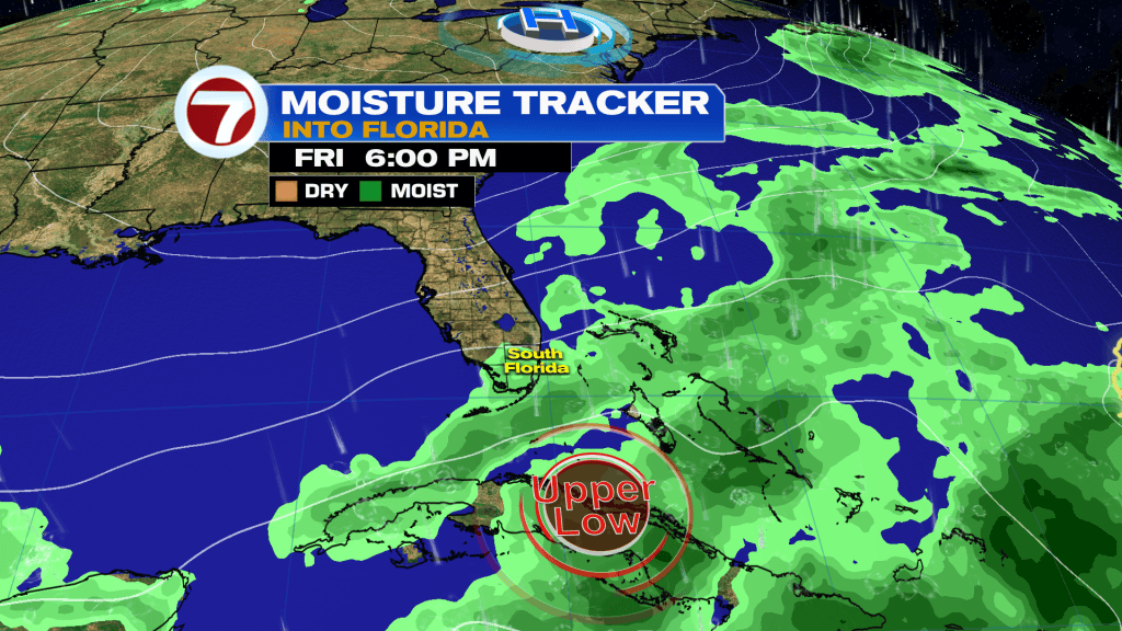
Forecast models show an Upper Low weather disturbance forming to our south. The flow, around the low, should account for a moisture surge and maybe big rain potential beginning Friday. If features stay in place, heavy rain could come this weekend. Additionally, winds should ramp higher making for more gusty conditions and rough surf. This future pattern, should it unfold, will also be enhanced by the arrival of the October King Tides! Coastal flooding could become a serious problem for areas, especially around times of high tide. Please stay informed and alert in the days ahead.


